
Pripyat river
Hydrological Characteristics of Pripyat river
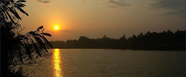
The Pripyat river is considered to be a main water –way (right inflow of the Dnieper river). The Pripyat river is the most large water body which passes through the ChNPP Exclusion Zone from the North-West to South-East and flows into Kiev reservoir.
Total length of Pripyat-river is 780 km, width is 100 – 160 m, depth is 3 – 4 m, flow velocity is 0.1 m/sec, absolute grade of water level in the river is 103 – 106 m; its drainage area covers 116000 km2. Corresponding values of the river length within the Exclusion Zone bounds from Dovlyady village to the confluence of the Pripyat into Kiev reservoir are 50 km with drainage area of approximately 2000 km2.
Availability of flood protection works and water protection embankments on ariver at ChNPP area makes possible to stalilize a river-bed process.
At a distance of 13 km approximately, the river is flowing in the man-made channel (artificial one) which has been built under construction of ChNPP cooling pond. Drainage network is good developed at the ChNPP Exclusion Zone area.
The Uzsh river is considered to be the largest inflow of the Pripyat river within the Exclusion Zone bounds. The Uzsh river is flowing on the Southern Zone periphery and flows into the Pripyat river lower of Chernobyl town. Approximately 15% of the Uzsh river basin is allocated within the Exclusion Zone limits. The rivers Grezlya and Ilya are considered to be the largest left bank’s inflows of Uzsh but Bobyor and Veresnya are its largest right bank’s flows.


On the right bank of the Pripyat river there is Sakhan-river outlet situated which flows into the Pripyat-river at Novoshepelichy village and into the Glynitsa-river which river outlet is situated near Lelyov village.
In the Northern part of the Exclusion Zone Pogonynsky channel flows into the Pripyat river from the left bank; its basin is situated at Belorussia territory. At present, Pogonynsky channel in Borschov village is closed hermetically; its drainage is income directly into thr Pripyat river only from pre-river outlet (pre-mouth) part of basin. The last drainage volume is directed to the river Neswich’s system and further to the river Braginka, part of volume is diverted to the river Pripyat if there is high-water period.
Amidst the low-running reservoirs the following is designated: Novoshepelichy lake, Semikhody and Pripyat backwaters (inlets) now cut off from the river Pripyat and Azbuchyn lake, some reservoirs of the left bank flood-plain of Pripyat river.
Radioecological characteristic of Pripyat river
90Sr specificerage activity in water of the Pripyat river at the beginning of water flow has become sufficiently higher. Two maximum indicators were fixed. They are 500 Bq/m3 and 490 Bq/m3 (two weeks after high water termination).
During high water 90Sr exportation of the river Pripyat constitutes 2.82 TBq (76% of annual exportation).
90Sr Exportation to the Uzsh river was 0.13 TBq (5.91 Ci), Braginka river – 0.48 TBq (12.9 Ci). Total exportation by those water flows was considered to be 4.40 TBq (119 Ci) 90Sr to Kiev pond; during post accident period it is the most low value.
90Sr intake from the Exclusion Zone boundaries made the most great contribution into formation of the Pripyat river contamination annual balance.
Endowment of the Pripyat river into 90Sr total exportation to Kiev reservoir is near 84 %, the Uzsh river – near 5%, the Braginka river – near 11%.
Reference Pripyat river:
- State water cadastre. Main hydrological characteristic. Ukraine and Moldova. Average and under Dnieper’s system. – L.Hidrometeoizdat. Vol. 6, part 2. – 524 p.